Continentes Geográficos
Explore os continentes com mapas e dados para estudantes.
Dados Geográficos
Oferecemos informações detalhadas sobre cada continente para entusiastas da geografia e estudantes, promovendo um melhor entendimento das características geográficas e culturais de cada região do mundo.
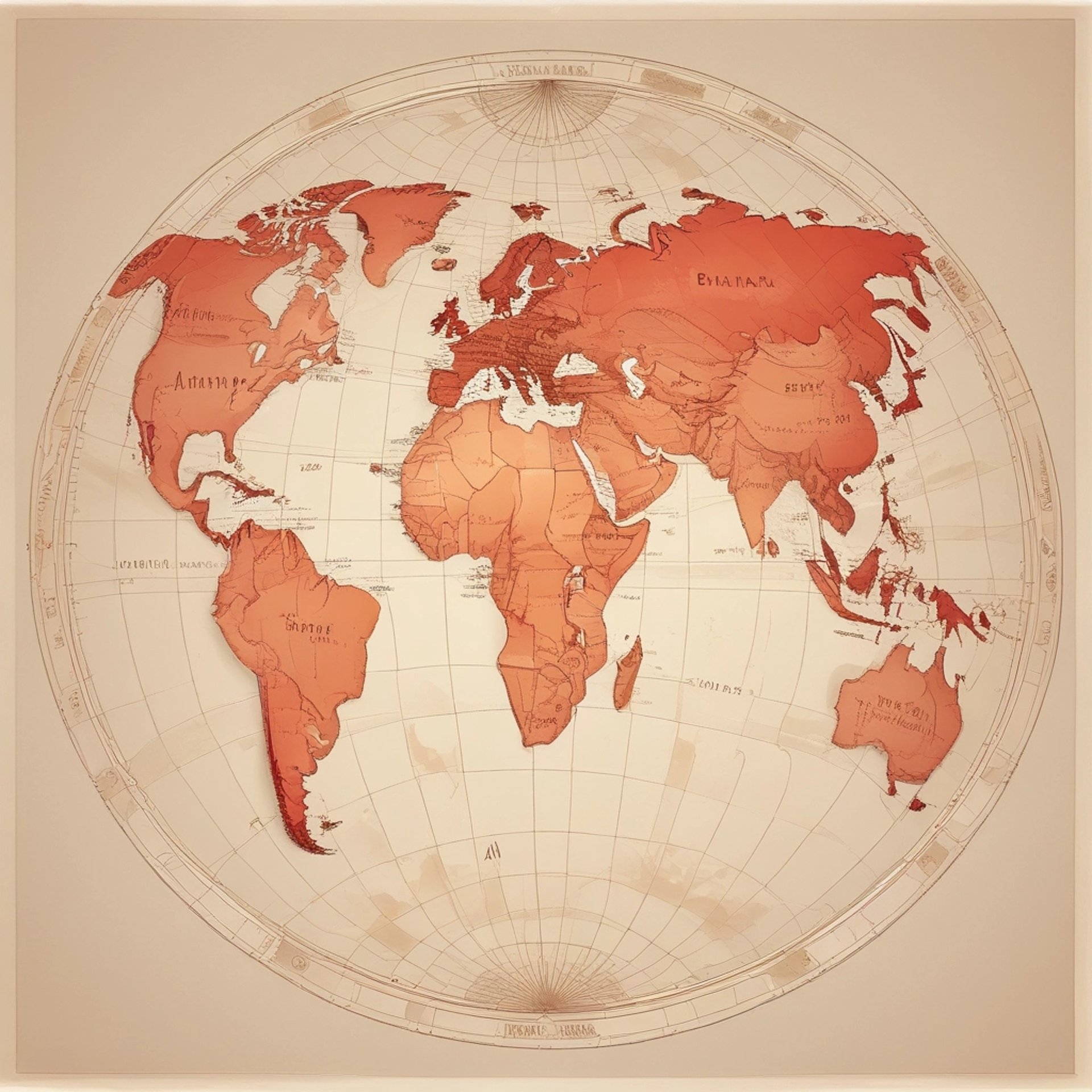
Mapas Interativos
Nossos mapas interativos ajudam a visualizar a geografia dos continentes, facilitando o aprendizado e a exploração de dados geográficos essenciais para estudantes e amantes da ciência geográfica.
Os conteúdos geográficos da Vilmaps são incríveis! Aprendi muito sobre mapas e dados dos continentes.


★★★★★
Localização
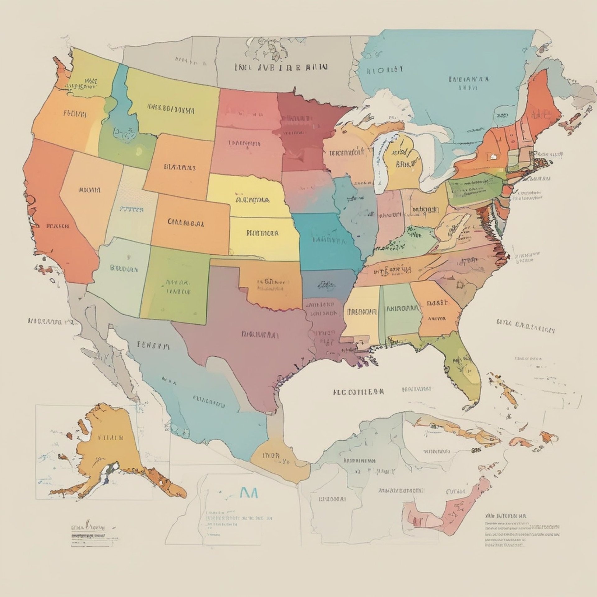
Explore nosso mapa interativo dos estados brasileiros e suas divisões geográficas para uma melhor compreensão do território nacional.
Endereço
Rua PIO XII 116
Horário
24 horas